
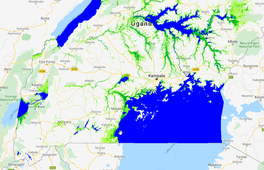
The “GlobWetland Africa” project has clearly demonstrated the versatility and multipurpose capacity of the Toolbox and the Sentinel missions (as well as other EO missions) to support wetland assessment, inventorying and monitoring. Still, the broad scope of information products featuring in GlobWetland Africa (i.e. wetland delineation, wetland habitat mapping, monitoring of inundation regimes, hydrological modeling and water quality) has meant the tools and products were demonstrated only on a site by site basis across wetlands in Africa. However, during Globwetland Africa it has become increasingly apparent that there is a need to support countries in Africa to conduct full national wetland inventories in order for them to meet not only their obligations towards the Ramsar convention but in particular also the monitoring requirements for the SDGs.
We are therefore happy to announce that the GlobWetland Africa project will be extended with new activities aiming at providing countries with a guideline and practical tool to perform EO-based national wetland inventorying to meet their reporting requirements towards Ramsar and the SDGs.
The majority of current GW-A toolbox users operate in countries and regions where access to computing resources is limited and internet bandwidths are low. This has constrained the use of the toolbox to localized cases in which a small number of Sentinel-1 or Sentinel-2 observations are processed at a given time. Under the new GlobWetland Africa extension, we propose to remove this barrier by extending the toolbox functionality into the cloud; i.e. the raw satellite imagery is accessed via the internet and processing performed through a shared online computing infrastructure. As a result, users only need bandwidth to transfer Megabytes of results rather than several Terabytes of raw data.