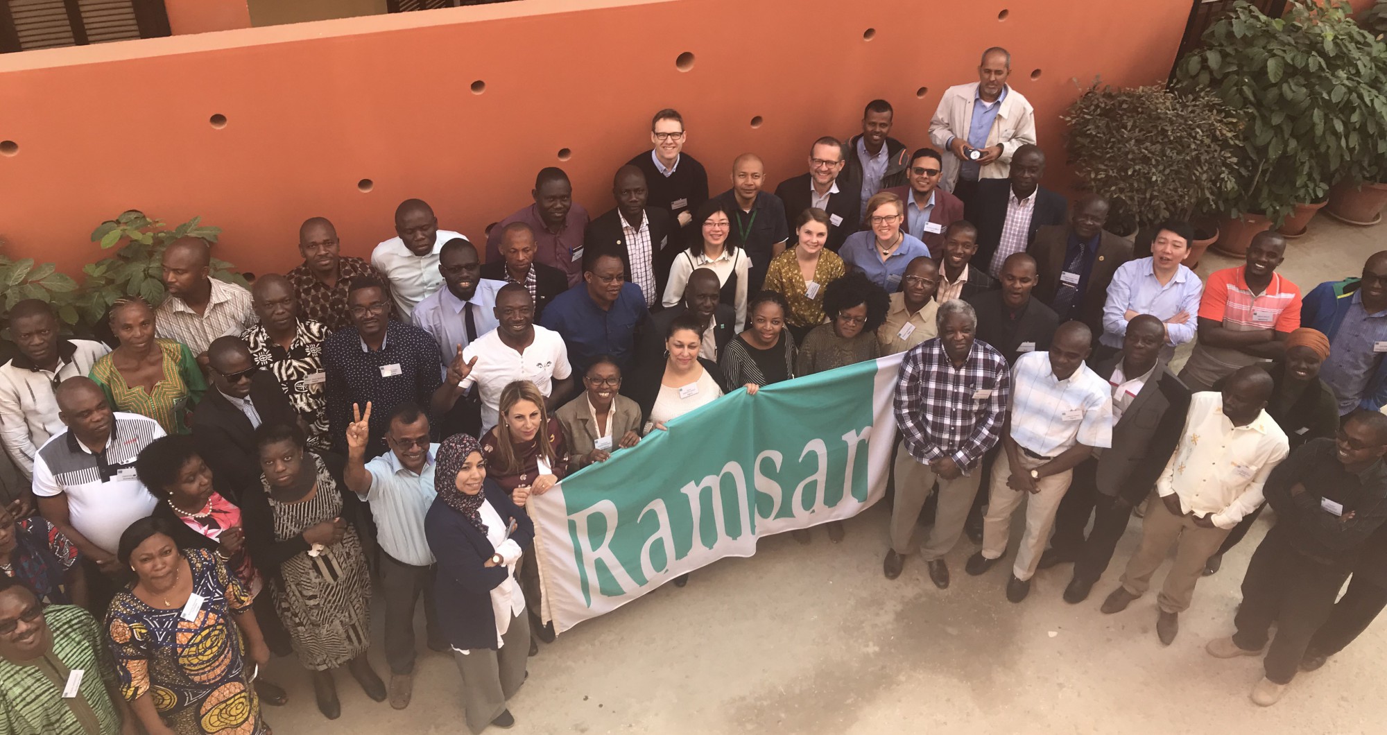
After more than 5 years of activities the GlobWetland Africa project is coming to an end. Over the course of the project, the team has successfully collaborated with Ramsar and a broad range of African stakeholders and international organizations on how to make the best use of open and free satellite data, primarily from the Sentinel missions, for wetland assessment, inventory and monitoring.
The GlobWetland Africa project was launched in late 2015 and during the first years of operation (2016-2019) the project developed and open-source and free-of-charge software toolbox for the end-to-end processing of a large portfolio of EO products and the subsequent derivation of spatial and temporal indicators on wetland status and trends. The versatility and multipurpose capacity of the Toolbox and the Sentinel missions (as well as other EO missions) to support wetland assessment, inventory and monitoring has been clearly demonstrated. For example, the wetland inventory and inundation regime products are derived from long and dense time series of satellite images, principally Sentinel 1 and 2 but also Landsat images to cope with the high temporal variability of hydrological conditions of wetlands. Further, classifiers such as Random Forest and Support Vector Machine, which are incorporated in the GlobWetland Africa Toolbox, are well suited to high-dimensional classification problems as they can ingest both multi-date and multi-sensor data. This synergistic use of Sentinel-2 with Sentinel-1 radar imagery is especially advantageous for African sub-equatorial coastal areas where data acquisition can be a major practical problem due to clouds. In addition, Sentinel-2, with its 5-day repeat cycle, 10-m spatial resolution and availability of bands along the red edge, will help users to advance the characterization of wetlands into different habitat classes and/or structural classes (e.g., based on vegetation height and density).
Still, the broad scope of information products during the project’s initial years (i.e. wetland delineation, wetland habitat mapping, monitoring of inundation regimes, hydrological modeling and water quality) meant the toolbox was demonstrated only on a site by site basis across wetlands in Africa. However, during this first phase it became increasingly apparent that there was a need to support countries in Africa to conduct full national wetland inventories for them to meet their obligations towards the Ramsar convention as well as the monitoring requirements for the Sustainable Development Goals (SDGs). Limited bandwidths in many parts of Africa prevent effective and instant access to the huge data amounts of data required to perform EO based national wetland inventories, and why online cloud-based services should be promoted to bring the users to the data.
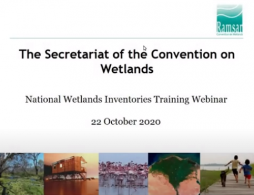
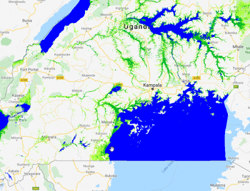
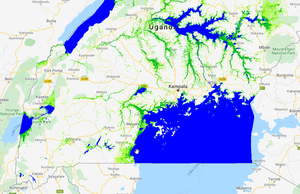
In response to these challenges, “the GlobWetland Africa – Extension on Wetland Inventory” was initiated in late 2019 to extent the toolbox functionality to the “cloud” and to provide countries with guidelines and tools to perform EO-based national wetland inventorying to meet their reporting requirements towards Ramsar and SDG target 6.6 that seeks to seeks to halt the degradation and destruction of freshwater ecosystems, and to assist the recovery of those already degraded. As a demonstration and proof of concept the GlobWetland Africa extension produced and validated three national wetland inventories (Tunisia, Uganda, and Namibia ), based on the full time series of Sentinel 1 and Sentinel 2 imagery acquired during a 4-year baseline period 2017-2020.
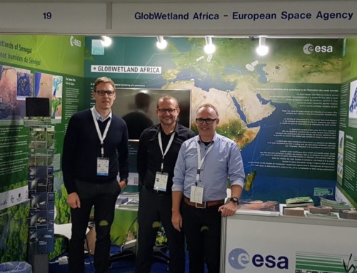
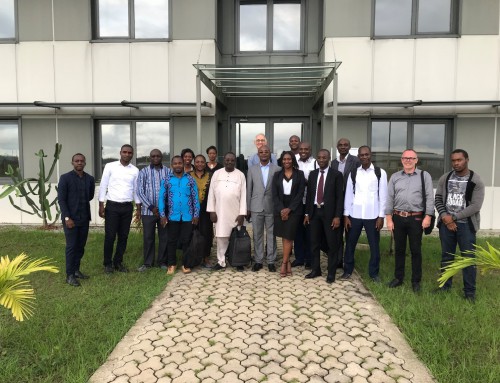
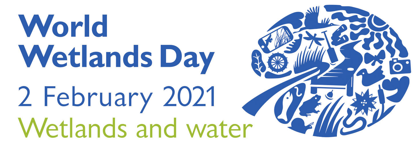
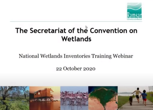
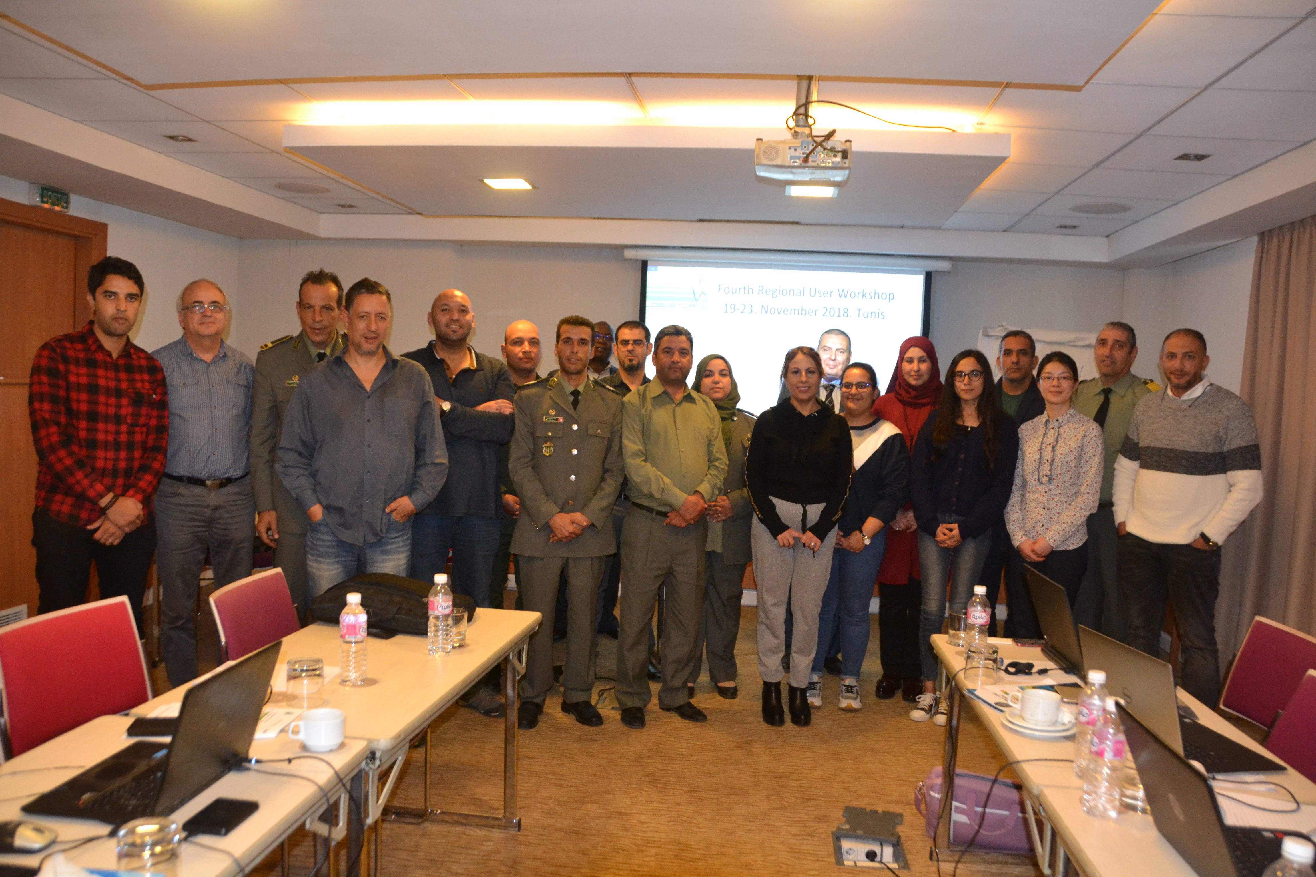
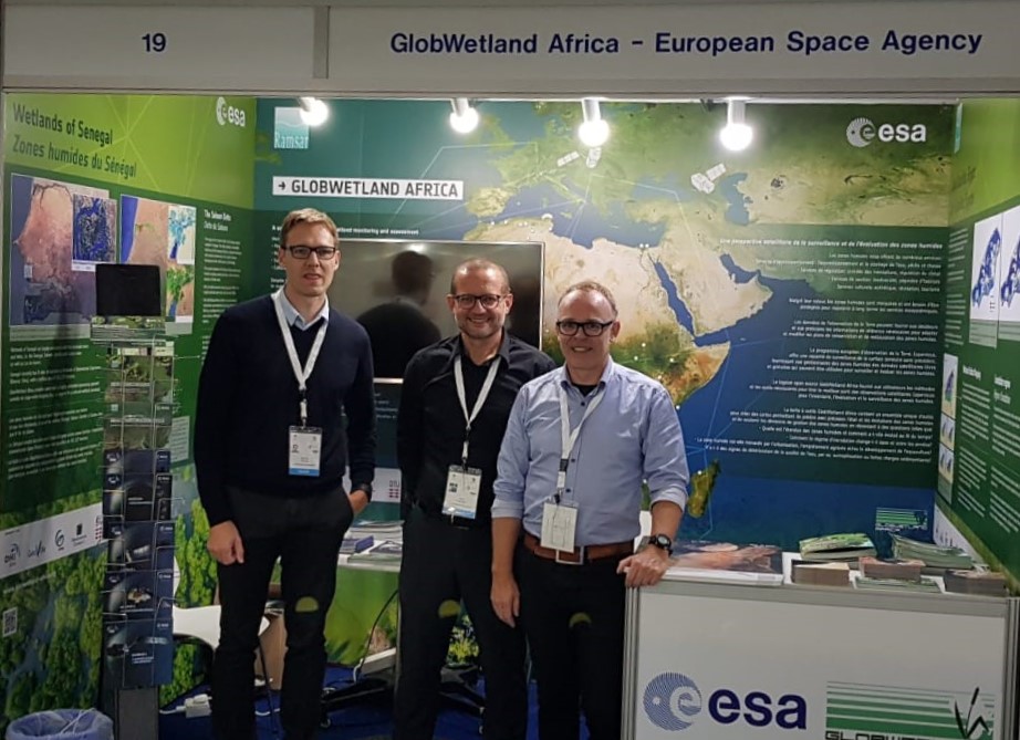
Along with the development and implementation of the toolbox and related EO service demonstrations, the team has also engaged in many related activities over the years to develop and promote a shared vision on how to advance the use of Earth Observation for wetland assessment, inventory, and monitoring. These additional project engagements and highlights include but are not limited to: participation in International events (e.g., World Water Week, World Bank Land & Poverty conference, Living Planet Symposium); parthership building (e.g,, GEO-Wetlands, RAMCEA, Global Partnership for Sustainable Development Data (GPSDD), promotion on World Wetlands Day, Training webinar on national wetland inventories as well as lead and co-authorship on several publications:
- Rebelo, L.M.; Finlayson, C.M.; Strauch, A.; Rosenqvist, A.; Perennou, C.; Tottrup, C.; Hilarides, L.; Paganini, M.; Wielaard, N.; Siegert, F.; Ballhorn, U.; Navratil, P.; Franke, J.; Davidson, N. 2018. The use of Earth Observation for wetland inventory, assessment and monitoring: An information source for the Ramsar Convention on Wetlands. Ramsar Technical Report No.10. Gland, Switzerland: Ramsar Convention Secretariat. [Link]
- Perennou, C., Guelmami, A., Paganini, M., Philipson, P., Poulin, B., Strauch, A., Tottrup, C., Truckenbrodt, J. and Geijzendorffer, I.R., 2018. Mapping Mediterranean wetlands with remote sensing: a good-looking map is not always a good map. In Advances in ecological research (Vol. 58, pp. 243-277). Academic Press. [Link]
- Ludwig, C., Walli, A., Schleicher, C., Weichselbaum, J. and Riffler, M., 2019. A highly automated algorithm for wetland detection using multi-temporal optical satellite data. Remote Sensing of Environment, 224, pp.333-351. [Link]
The GlobWetland Africa project and the extension on wetland inventory is funded by the European Space Agency in partnership with the Ramsar Convention on Wetlands.